Skip to content

Forestry Land in Greece: Building Restrictions

Purchase Tips

14.07.2023

Villa Eolos, Rethymnon

As part of the effort to complete its Forest Cadastre, Greece has re-surveyed its land to separate public forest land from privately owned land. Declaring properties to the Land Registry has not been simple for Greece's cities, since many municipalities lack ownership deeds for schools, municipal buildings, and public squares. Forest land includes grasslands on semi-mountainous, mountainous, and uneven terrain; parts of parks or groves that have non-forest vegetation but are organically connected to the whole park or grove; and an organic set of wild plants with a woody trunk on the necessary surface of the ground. This article explains what those designations mean, and how to check whether your own plot contains protected forest land.

How Much of Greece's Land has been Mapped?

The forest maps are now essentially complete across the country. The maps classify a large share of Greece, more than half the territory by some measures, as forest land, which is an increase compared with decades ago. In some areas, the share classified as forest land rose sharply compared with earlier surveys.

What are the Advantages of the Forest Maps?

For the Greek Forestry Service, the aim is to protect forests and grasslands and to confirm the Greek state's property rights over its forests. The maps also open the way to a future Forestry Species Registry. Former Deputy Environment Minister Giorgos Amyras said at the time that "forest maps ensure the protection of Greek forests, safeguard citizens' property, do away with bureaucracy and free up investments."

How do I Check the Status of my Land?

Check with the official forest service rather than relying on the seller or locals, as some sellers will claim you can build on land that you cannot. You can check the status of your land at https://gis.ktimanet.gr/gis/forestfinal. The green areas are forest land. The yellow areas are private land. The neutral colour shows areas where there was an objection. Click the "info" button on any area for more detail and the two-letter designation.

Can I Build on Forest Land?

If your land is classified as forest land, you face limits on building and developing it. Forest land, like coastland and archaeological sites, is treated as common use and belongs to the state. You can only build on the parts of your land that are not defined as forest. Keep in mind that the minimum area required to build on an out-of-plan plot is 4,000 square metres. If your plot is 5,000 square metres but 2,000 are forest land, you have only 3,000 square metres of buildable space, so you could not build. If your plot is 5,000 square metres and only 500 are forest land, you could build on the remaining 4,500 without that restriction. There are also limits on how close a structure can come to the edge of a forested area. In other words, you need to leave the forest some breathing room.

What if I Live in a City or Village?

Land inside the approved plan of a town or village is excluded from the forest maps. This does not mean a whole region has no forest. Attica, for example, has major forests such as Parnitha and Hymettus, but the areas within the approved city plan sit outside the forest-map system.

What Categories are Assigned?

Land falls into two broad categories: forest land (D) and private, non-forest land (A).

Each plot is given two letters, following a "before and after" logic. The first letter is based on aerial images from 1945, when comprehensive photographs were taken of Greece's land. The second letter refers to the current designation. Some land that was forest in 1945 is no longer forest, and the reverse is also true. If your land falls into the forest category, it contains at least some forest land. The forest combinations are DD, DA, AD, and AA. Anything ending in "D" is current forest land and carries significant building restrictions. "D" stands for Δ, the first letter of the Greek word for forest. Anything ending in "A" is outside forest regulation. "X" refers to a third category, grasslands.

  • DD: it was forest, and it is still forest.

  • DA: it was forest, but is no longer forest.

  • AD: it was not forest originally, but now it is.

  • AA: it was not forest originally, and is still not.

Designations starting with "Π" (such as PD or PA) mean that at some point the state issued a document designating the plot as non-forest land. For example, the Greek government gave land to refugees after the population exchange of the 1920s and allowed building on it, so it is marked with a "Π" on current maps.

  • XX: it was grassland, and is still grassland.

  • XA: it was grassland, but is no longer.

  • AX: it was not grassland originally, but now it is.

Can I Appeal with an Objection?

When the forest maps were being drawn up, there was a deadline to submit a forest-map objection, with extra time for owners living abroad. Submitting an objection involved costs linked to the area in question and to the technical consultant you hired. The maps are now finalised, so in most areas the objection window has closed.

How Long Do Objections Take?

Objections can take several years, because a limited number of committees review them. The committees are formed by the Ministry of Environment and Energy and are usually made up of a lawyer, a forester, and an engineer.

Can a Building Permit be Issued for Part of a Plot?

Yes. Even if part of your plot is forest land, the section that is not forest can be eligible for a building permit.
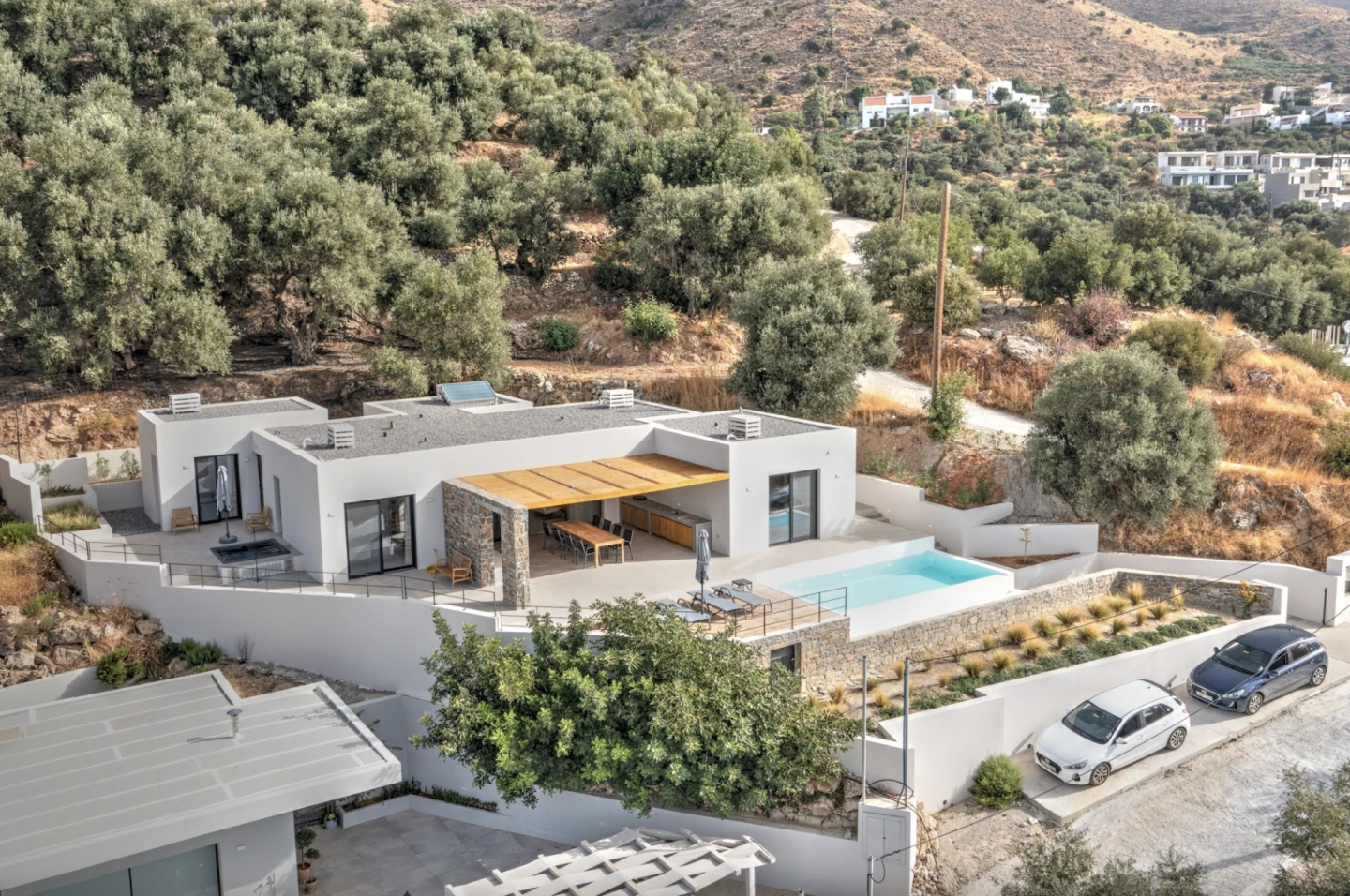
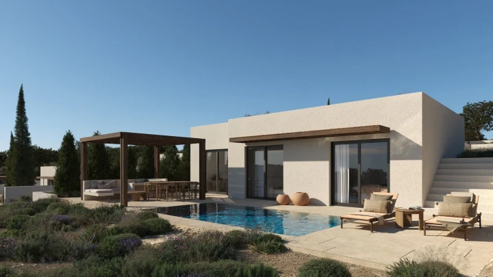
You might also like